DIGENTI
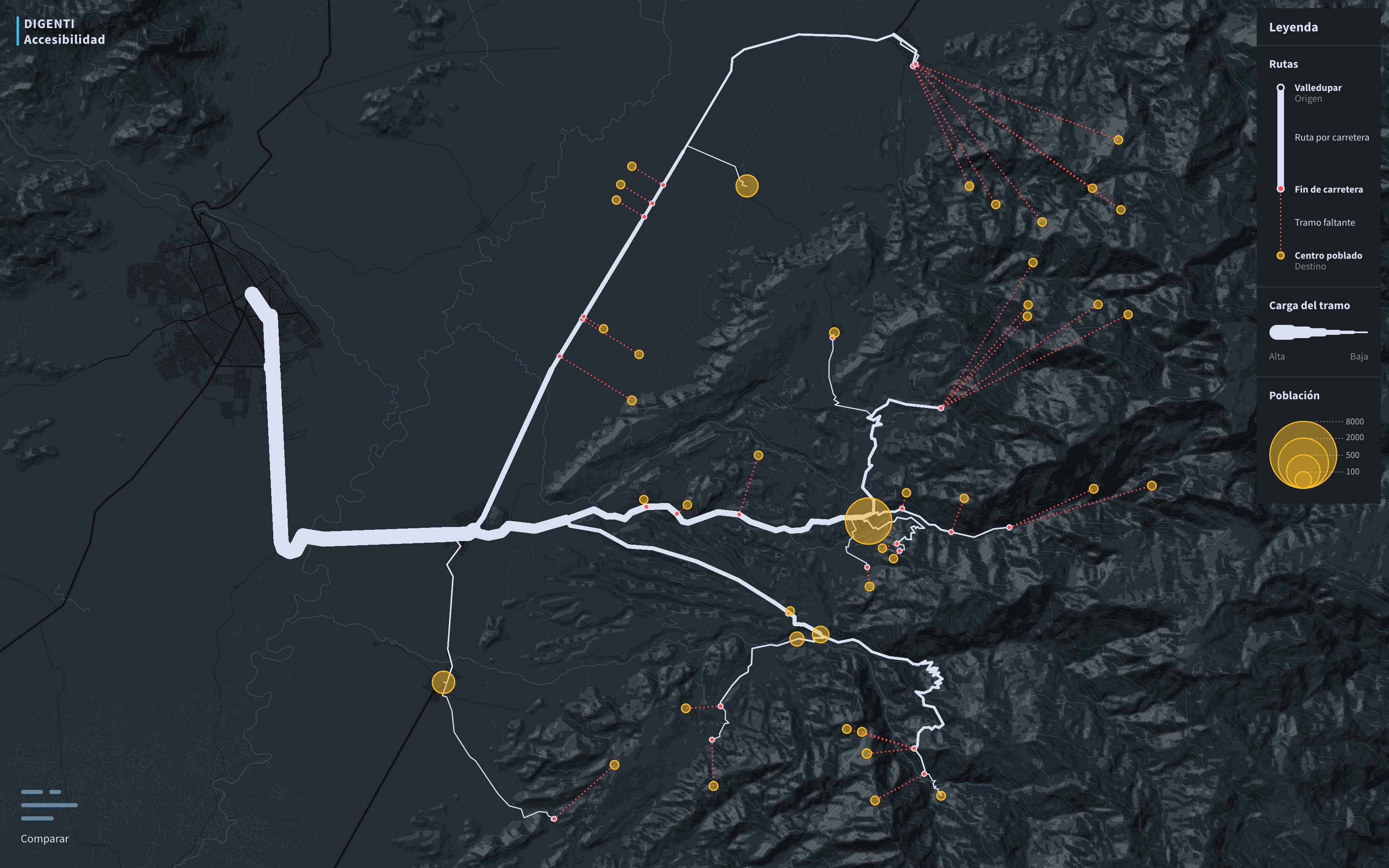
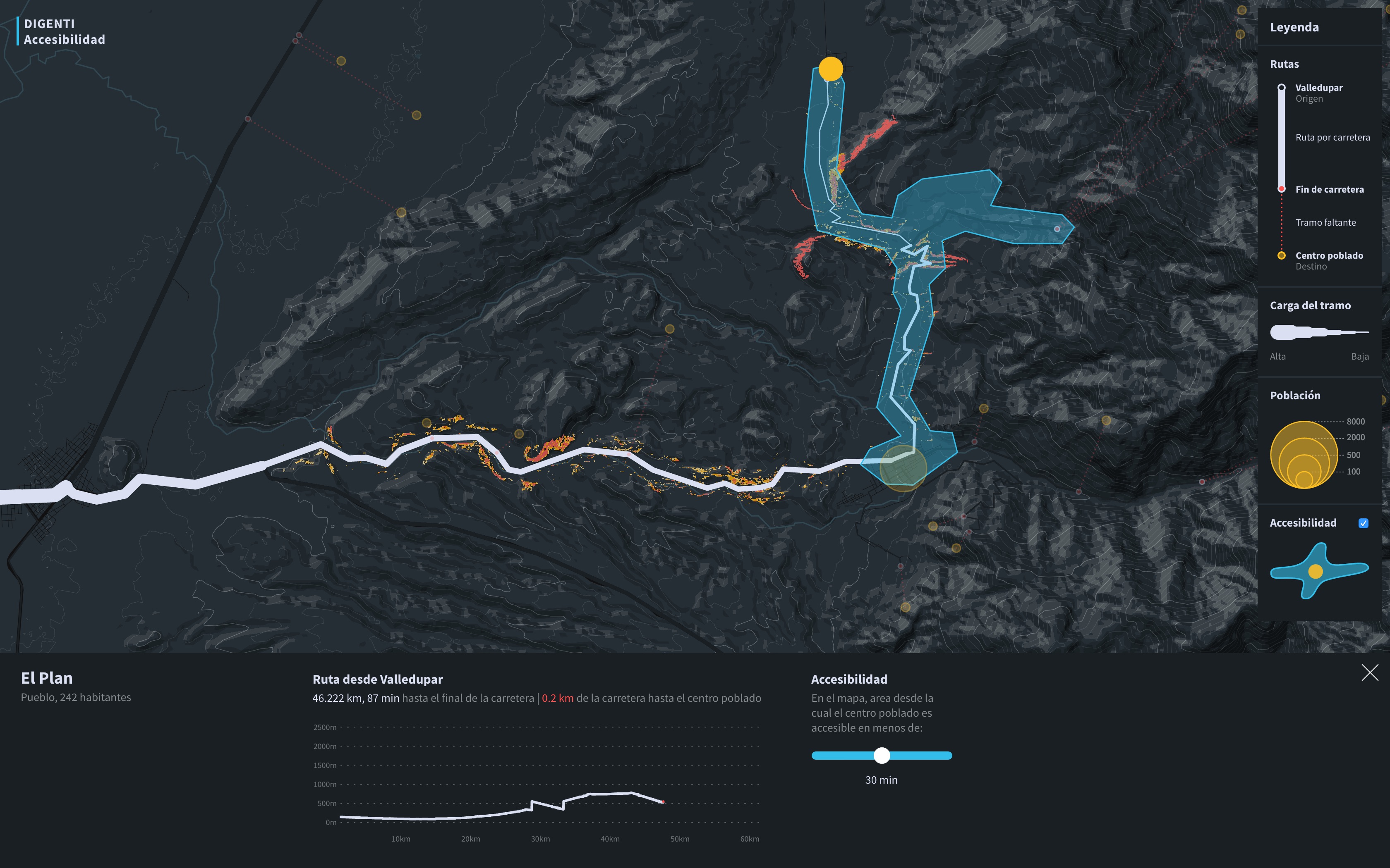
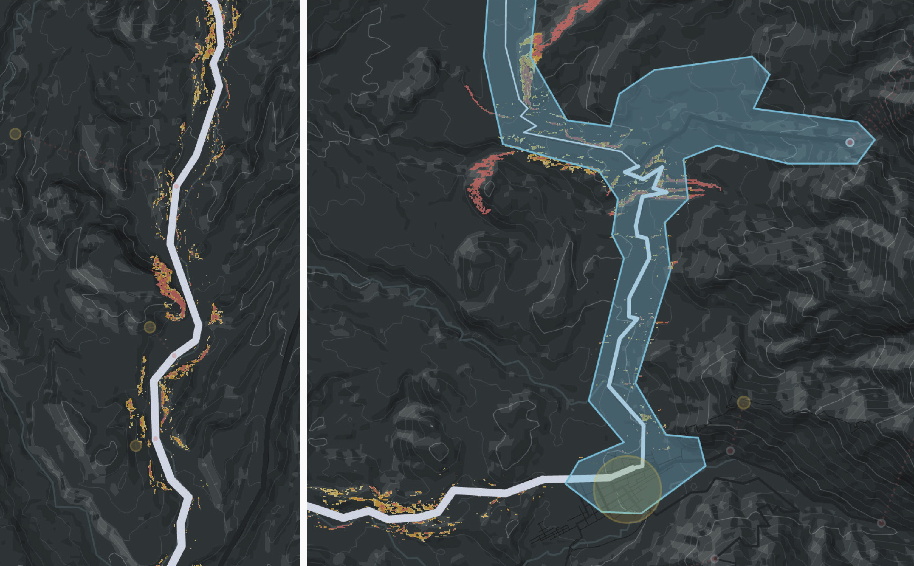
A research project in the field of disaster management, driven by a user-centered design process. We designed, prototyped and implemented a tangible multi-touch tabletop interface which combines satellite data and crowdsourced geographic data in one visualization.
- Year 2016
- Context Design Research project, Interaction Design Lab, FH Potsdam
- My Role
- Link Project website
Challenge
The main goal of the project was to design a visualization that offers a quick and detailed overview of a potentially hazardous situation in a specific area. That should enable disaster management personnel to establish an effective disaster relief.
Design Process
The development of the project was driven by a user-centered design process. We conducted several workshops with domain experts, stakeholders and potential users.
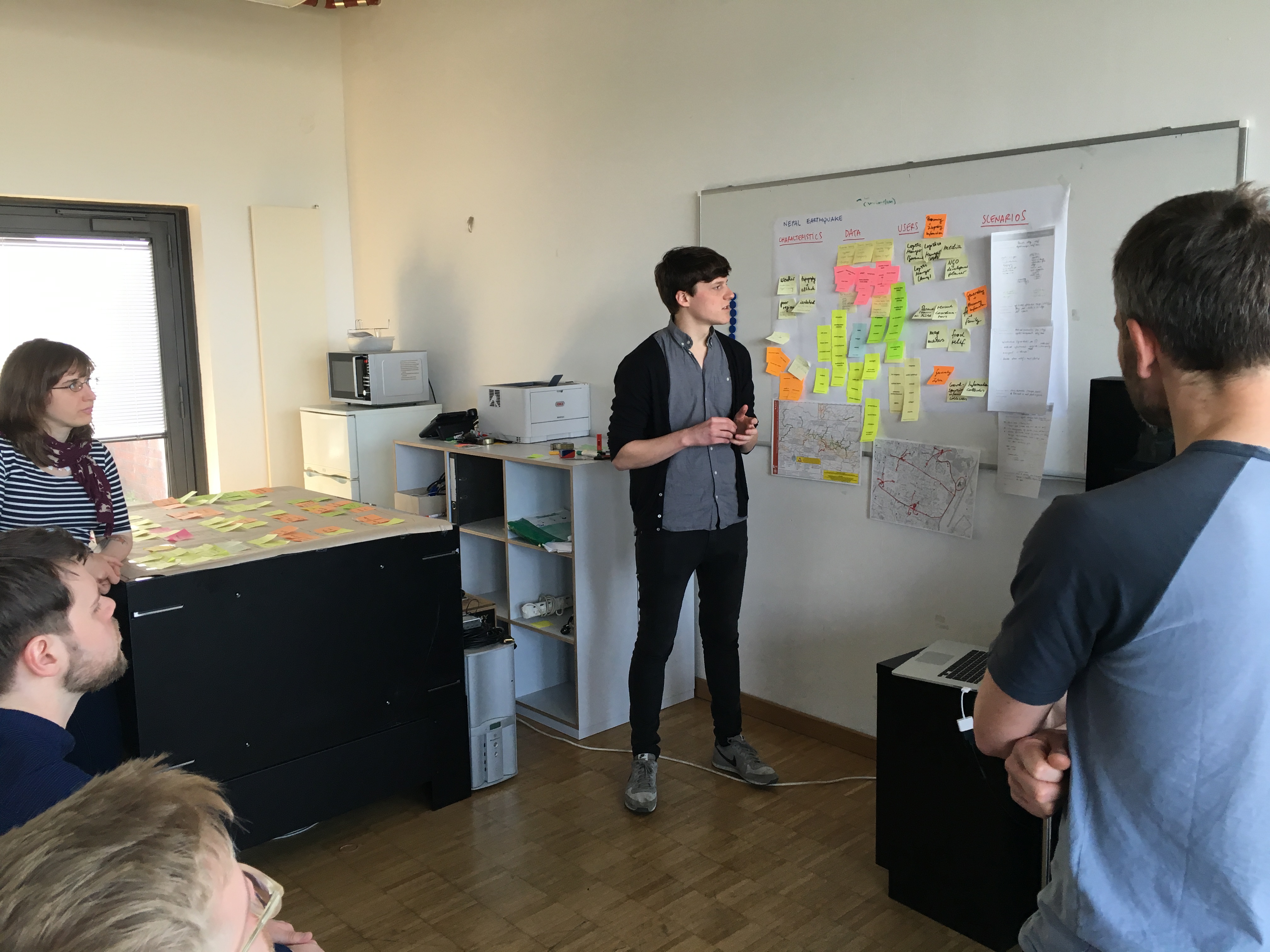
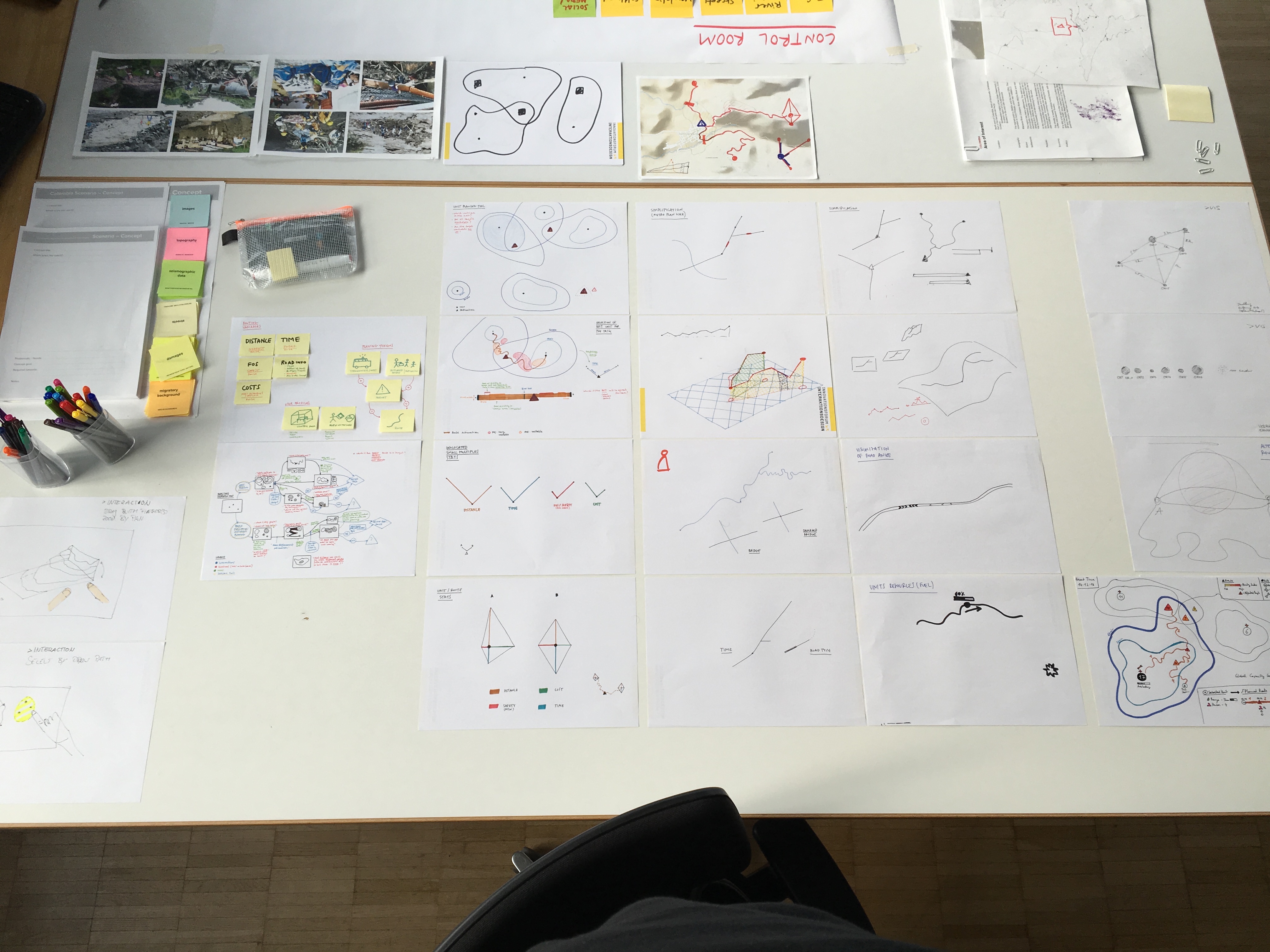
The results of the research phase had a major influence on the visual design of the visualization and the user interface. Based on our findings, we developed a central geographic visualization that shows potential dangers in the area of interest. Several smaller visualizations accompany it aside.
The user interface is designed to be minimalistic and subtle, the visualizations themselves get the most attention and are used as natural user interface elements. Both have been designed in several steps, starting with paper sketches to interactive sketches and experiments to the final implementation.
The frontend was developed with HTML, CSS and JS. The visualization is based on a combination of D3.js and Mapbox.
See more projects:
Say Hello!
You've got a question or want to talk to me? Drop me a mail.